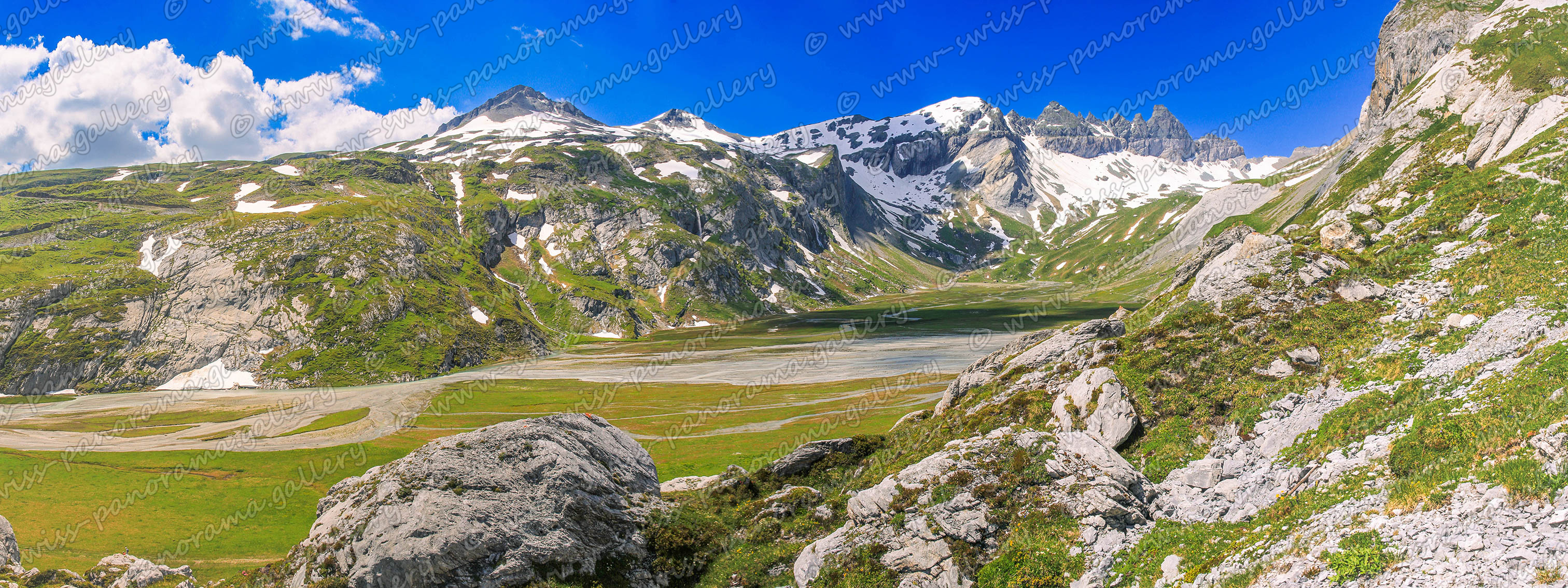
Fil de Cassons - Segnes Ebenen
View from Fil de Cassons (2674m). On the left you can see the Upper Segnes plain.
Click on the image to enlarge it to full-screen display in panorama viewer.
Fil de Cassons and the Segnes Plains are part of the Swiss Tectonic arena Sardona. This is an area of about 300 square kilometres around Piz Sardona. The area shows the geological phenomenon of overlay - older rock strata are to be found above younger ones. The Glarus Thrust fault is clearly visible as a sharp line at Piz Dolf and Piz Segnas and the Tschingelhörner for example. The cable way to Fil de Cassons is since October 2015 out of service. Fil de Cassons can be reached only by hike. There is a new project for a new ropeway with four sections. The construction started in 2023, but only for the first two sections. when and if the upper sections will really be built is not known.
View from above the upper Segnes plain to the south.
Click on the image to enlarge it to full-screen display in panorama viewer.
The Tschingelhörner are famous for its Martinsloch. It is a rock window that is 15m tall and 19m wide, located at some 2'600m above sea level in the large Tschingelhorn mountain. Twice a year - on 13/14 March at 8.53 a.m. and on 30 September/1 October at 9.32 a.m. - the sun briefly shines straight through the Martinsloch just before it is due to rise, illuminating the church tower in the village Elm, beyond the mountain chain.
The picture shows a view of the lower and upper Segnes plains.
Click on the image to enlarge it to full-screen display in panorama viewer.
View from below the upper Segnes plain.


