Die 35 km lange Strasse über den Ofenpass (Rätoromanisch: Pass dal Fuorn) verbindet die Orte Zernez im Unterengadin und Santa Maria im Münstertal. Die Passhöhe befindet sich auf 2035 Meter über Meer.
The 35 km long road over the Ofen Pass (Rhaeto-Romanic: Pass dal Fuorn) connects the villages of Zernez in the Lower Engadine and Santa Maria in the Münstertal. The hingest point of the road is located at 2035 meters above sea level.
Panorama Ofenpass
Blick von der Passhöhe ins Münstertal. Im Hintergrund der Ortler 3905m. Er ist die höchste Erhebung der italienischen Provinz Südtirol.
View from the top of the pass into the Münstertal valley. In the background the Ortler 3905m. It is the highest peak in the Italian province of South Tyrol.
Klicken Sie auf das Bild, um es im Panorama Viewer zu betrachten
Click on the image to enlarge it to full-screen display in panorama viewer.
Auf Ihrem Desktop oder Tablet können Sie das Bild im Panorama Viewer betrachten.
You can view the image in the panorama viewer on your desktop or tablet.
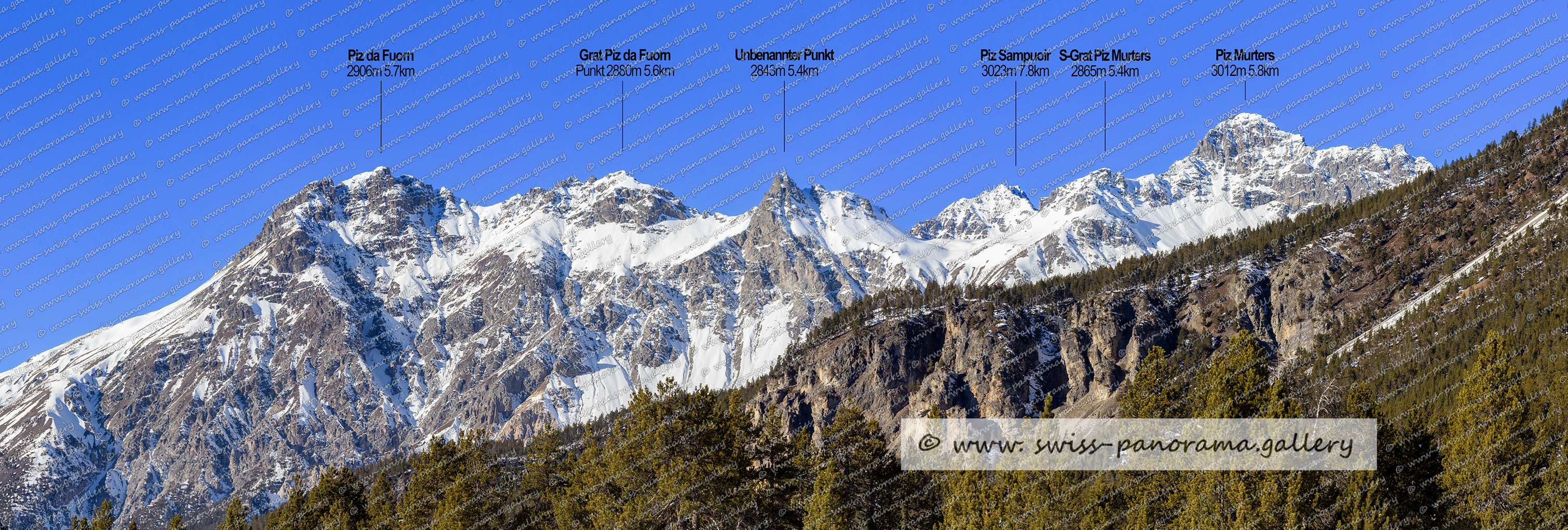
Blick zu Piz da Fuorn 2906m, Piz Sampuoir 3023m und Piz Murters 3012m.
Blick von der Passhöhe zum Ortler.

